Nate cometh.

I first heard about him as Tropical Depression #16, forming off the coast of Nicaragua on Wednesday. On Thursday morning I saw he had been named and was predicted to be headed straight for New Orleans. I contacted a friend in Memphis about the possibility of bunking there over the weekend.
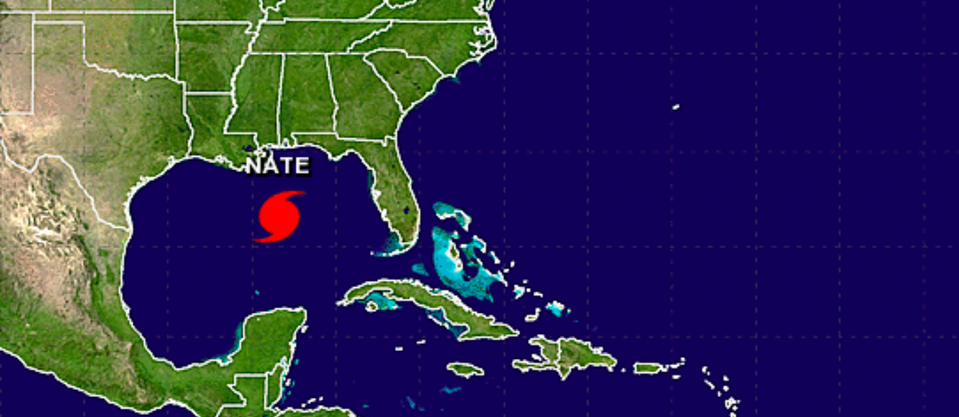
But then I learned more about Nate. He’s a fast-moving son of a gun. He was expected to be in the middle of the Gulf Saturday, making landfall on the Gulf Coast in the wee hours of Sunday morning, and be all the way up in New England late Monday.

I don’t think I’ve ever seen a storm that fast.
Contrary to what you might think if you don’t live in this zone, fast is good in some ways. A slow-moving tropical storm that dumps a ton of water can be worse for a flood-prone area than a fast-moving hurricane.
Because Nate is moving so fast, he may not have time to strengthen significantly over the Gulf. He’s officially a Category 1 storm right now, and not expected to get much stronger, though the latest update says maybe Category 2 by landfall.

Current estimates say New Orleans might only get a couple inches of rain, but we’re on the edge of a heavier rainfall prediction zone. If we get more, we could have some street flooding, but right now it’s looking like winds will be more significant. We could lose power, and it might be a long time before that’s restored.
Then again maybe Nate will blow to our east and this will be a non-event for New Orleans.
So we’ve stocked up on essentials and we’re preparing to ride Nate out. Xy is alternating between complete blasé and full-on panic. She seems to have no middle ground. Me, I’m trying to maintain an even keel.
Discover more from b.rox
Subscribe to get the latest posts sent to your email.